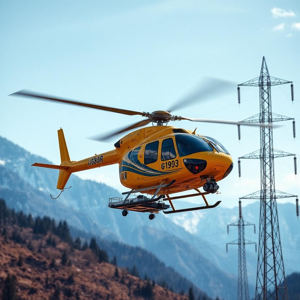
Inspection, Survey & LiDAR
Utility and infrastructure operators use SkyMatch to source inspection helicopters equipped with LiDAR pods, EO/IR thermal cameras, methane sensors and blade-inspection optics — covering HV powerlines, oil & gas pipelines, rail corridors and wind farms.
Typical use cases
- HV powerline corona and thermal inspection
- Oil & gas pipeline right-of-way patrol
- Wind-turbine blade inspection with high-resolution optics
Compliance & crew
Low-level survey approval, corridor NOTAMs, sensor operator qualification.




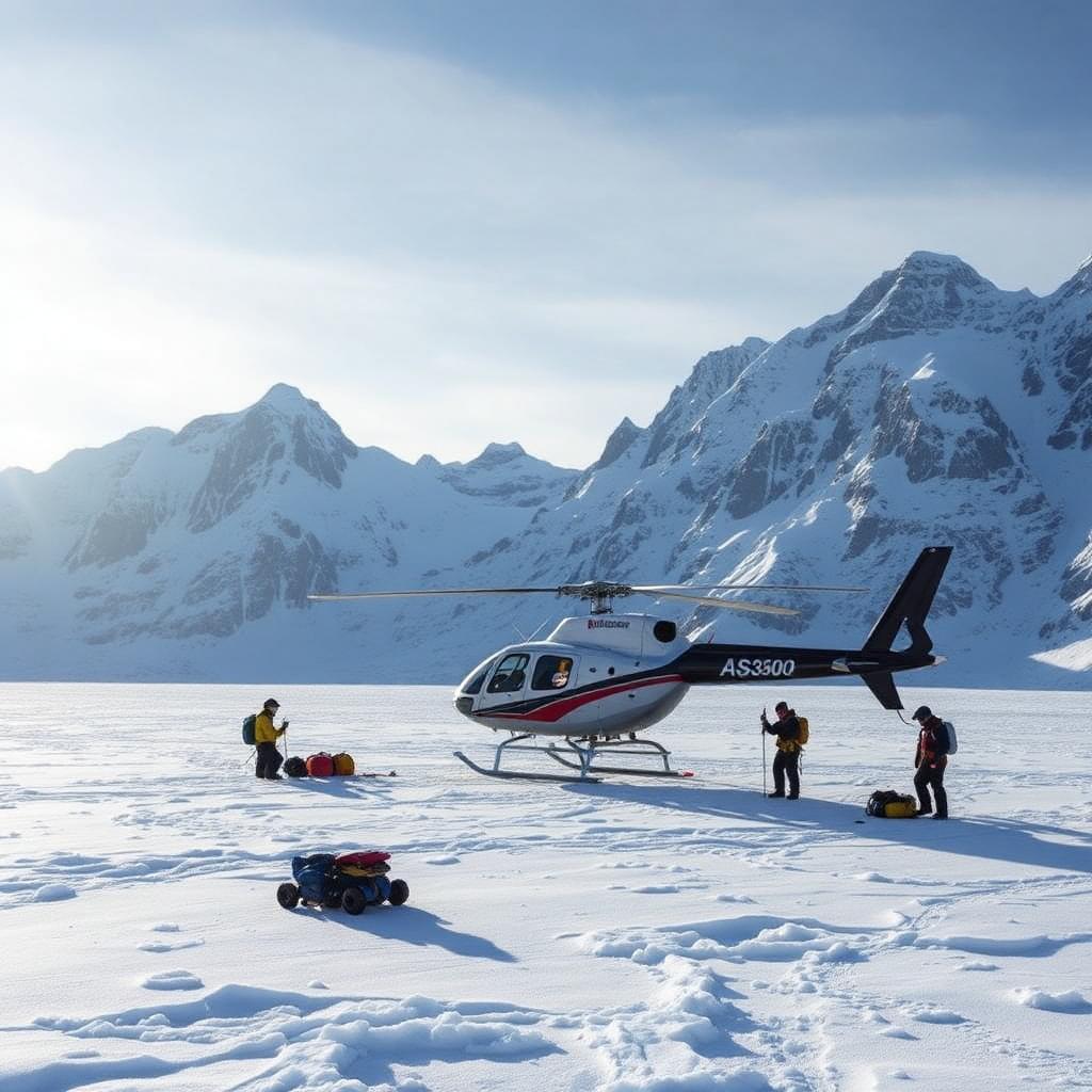
Frequently asked questions
Which sensors can you mount?+
LiDAR pods, EO/IR thermal cameras, methane / hydrocarbon sniffers and high-resolution blade optics — matched to the utility, pipeline or wind-farm profile.
Can you scan corridors after a storm?+
Post-event patrol on transmission lines and pipelines is typically airborne within 24 hours; scheduled corridors run on 5–15 day rotations.
Do you deliver the raw data or a processed report?+
Both. Operators deliver raw LiDAR / imagery or a fully processed inspection report through a partner GIS lab, depending on the SOW.
Ready to launch a Inspection & LiDAR mission?
Share the brief and we return a shortlist of qualified operators with aircraft configuration, rates and availability.