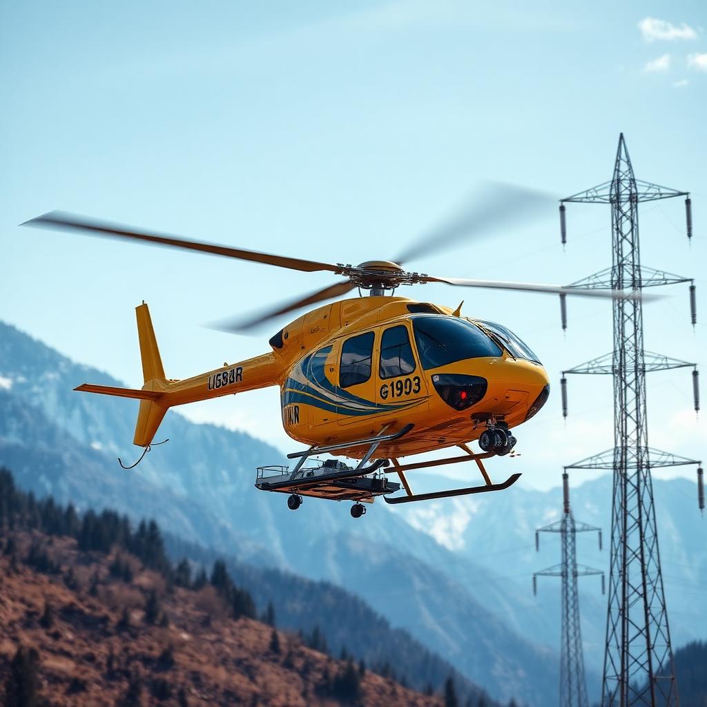
Inspection, Survey & LiDAR
Utility and infrastructure clients use SkyMatch to coordinate inspection helicopter requests for high-voltage powerlines, oil and gas pipelines, rail corridors and wind farms. Licensed independent operators confirm LiDAR pods, EO/IR thermal cameras, methane sensors and turbine-blade inspection optics, together with aircraft, crew, permissions, timing, availability and price.
Typical applications
- High-voltage powerline corona and thermal inspection
- Oil and gas pipeline right-of-way patrol
- Wind-turbine blade inspection using high-resolution optics
Compliance and crew requirements
Operator-confirmed requirements: low-level survey approval, corridor NOTAMs and sensor operator qualifications.




Frequently asked questions
Which inspection sensors can independent operators fit?+
Requests can specify LiDAR pods, EO/IR thermal cameras, methane or hydrocarbon sensors and high-resolution turbine-blade optics, matched to the utility, pipeline or wind-farm inspection scope. Licensed independent operators confirm sensor integration, aircraft, crew, permissions, timing, availability and price.
Can you arrange corridor inspections after a storm?+
Post-event transmission-line and pipeline patrol requests are coordinated as quickly as possible, subject to operator availability. Licensed independent operators confirm aircraft, crew, permissions, timing, availability, price and mission suitability for post-storm patrols and scheduled corridor inspections.
Can operators provide raw data or a processed inspection report?+
Requests can specify raw LiDAR data and imagery or a fully processed inspection report through a partner GIS laboratory. Independent operators confirm the deliverables against the agreed scope of work.
Ready to request a Inspection & LiDAR mission?
Submit your mission brief for human review and operator matching as quickly as possible, subject to operator availability. Licensed independent operators confirm aircraft configuration, crew, permissions, timing, availability and price.